3 Our Communities
In creating this plan, we have carefully considered information about our communities and statistics which may impact on fire risk and other emergencies. The following is a summary of key information.
Geography
- Nottinghamshire covers an area of 838 square miles and borders Derbyshire, Leicestershire, Lincolnshire, and South Yorkshire
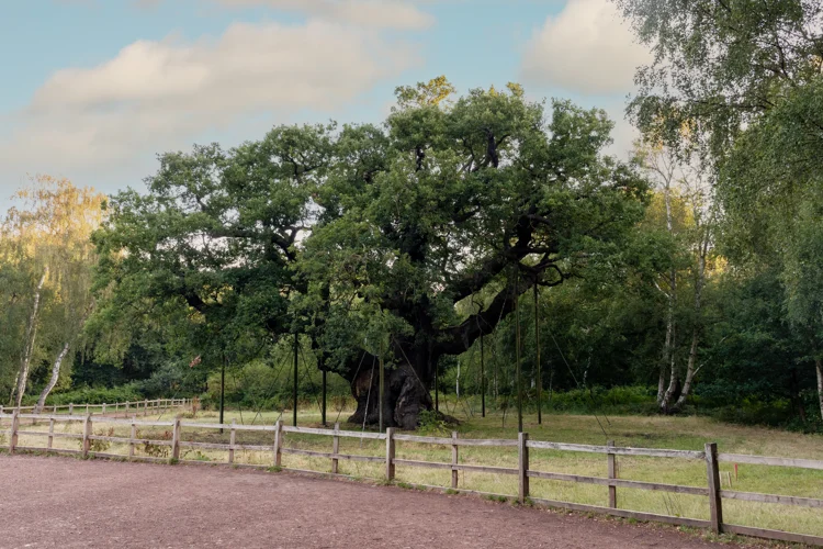
- Much of the county is rural land and forestry, including Sherwood Forest
- Several major rivers and canals pass through the county, including the River Trent. In total, there are over 300 miles of waterways in the county
- The county is made up of eight local authority areas, with nine market towns and one city
Population
- Our county has a population of 1.15m people, with 70% living in urban areas
- More than half the county’s population live in the city of Nottingham and its immediate surrounding areas – this is the 9th largest urban area in the UK. This area includes over 60,000 students from our two universities
- The city has over 130,000 households, and this is projected to rise by 5% over the next 10 years
- The remainder of the county has 361,809 households, and this is projected to rise by 8% over the next 10 years
- 21% of County residents and 11% of City residents are aged 65 and over. A 7.4% increase in this age group is expected by 2025
- We have diverse communities in both the city and wider county and, from the 2011 census, our understanding of ethnicities in our area is as follows. This information will be updated once we have the results from the 2021 census
- From the 2011 census:
- 28.5% of City residents are from a black, Asian, or minority ethnic (BAME) background of which:
- 42% are Asian or Asian British
- 32% are Black African and Caribbean or Black British
- 21% are from mixed or multiple ethnic groups
- 4.5% of County residents are from a black, Asian, or minority ethnic background of which:
- 49% are Asian or Asian British
- 15% are Black African and Caribbean or Black British
- 31% are from mixed or multiple ethnic groups
- Over 87% of people speak English. The most common other languages spoken include Polish, Urdu, Chinese (other than Mandarin or Cantonese), Punjabi, Arabic, Persian/Farsi, Kurdish, French, Portuguese and Hungarian
- 28.5% of City residents are from a black, Asian, or minority ethnic (BAME) background of which:

- From the 2011 census:
Economic
- There is a range of economic performance levels across the whole county. Of all 343 local authority areas in England:
- The City of Nottingham is the 11th most deprived
- Mansfield is the 46th most deprived
- Rushcliffe is 314th, so is one of the 30 most affluent areas in England
- People in employment (aged 16-64 in 2018/19):
- In the County, this is 74%
- In the City, this is 64%
- In the City, 19% of working adults claim benefits with 3.1% of working-age adults out of work because of ill-health or caring responsibilities
Digital technology
- Around 8% of Nottinghamshire residents have never used the internet
- 93.4% of over 16's in the City have recently used internet (up from 94.4% in 2014)
- 89.2% of over 16's in the County have recently used the internet (up from 85.5% in 2014)
Health & Lifestyle
- Overall, life expectancy in the City of Nottingham is two years less than the national average. However, within City areas, life expectancy does vary by over eight years, when looking at the most and least deprived areas
- Life expectancy in the County is similar to the national average. However, it does vary by nine years for mean and over seven years for women, when looking at the most and least deprived areas
- 17% of our adult population in Nottinghamshire smoke, about 150,000 people
- Two-thirds of adults in the County are classed as overweight or obese
- Around 8,000 people are admitted to hospital each year for alcohol-related reasons. This is a third higher than the national average
- 1,347 people were killed or seriously injured on our roads between 2016 and 2018
- It is estimated 13,200 people over the age of 65 in our county are living with dementia. Dementia is projected to increase to 17% across England by 2025
- 1,265 people over the age of 65 were admitted to hospital with hip fractures in 2018/19
Buildings & infrastructure
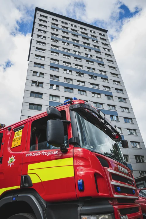
- We have over 2,00 multi-storey buildings more than 11m in height
- We have over 4,600 listed buildings, with 49 buildings on the Heritage at Risk Register
- Six sites are subject to regulations for the Control of Major Accident Hazards (COMAH)
- Within the county there are 3,500 miles of road, 17 wind farms and 31 solar farms
- We have a tram network covering over 20 miles